Mirador de Barranco de La Palmita

EIN ZENTRALES PLATEAU
Sie befinden sich neben dem Besucherzentrum des Nationalparks Garajonay, in den nördlichen Ausläufern eines Hochplateaus, das den gesamten zentralen Teil der Insel einnimmt. Sie haben vielleicht bemerkt, dass wir hier nicht die gigantischen Schluchten finden, die die Isla Colombina charakterisieren. Die Umgebung weist mit einer Höhe von über 600 Metern ein viel weicheres Relief auf als der Rest von La Gomera.
Ein Beispiel für den enormen Unterschied, der zwischen diesem zentralen Sektor und dem Rest der Insel besteht, ist die folgende Information: Die Entfernung zwischen dem Meer und diesem Ort, an dem Sie sich auf einer Höhe von 740 Metern befinden, beträgt 2,8 Kilometer. Zwischen diesem Punkt und der 8,2 Kilometer entfernten Spitze der Insel, dem Alto de Garajonay (1487 Meter hoch), besteht der gleiche Höhenunterschied bzw. die gleiche völlige Unebenheit.
Diese Topographie hat die Ausbreitung kleiner Bevölkerungszentren begünstigt, die sich, anstatt in den fruchtbaren Tälern zu bleiben, dafür entschieden, sich am Rande des Waldes niederzulassen, dessen Ressourcen zu nutzen und ihre alte Ausdehnung deutlich zurückweichen zu lassen: La Palmita Beispiele hierfür sind Las Hayas, El Cedro oder Los Aceviños im selben Tal.
EIN SCHNAPPSCHUSS DER INSEL
In der Fotogalerie die Hangkarte der Insel, die den empfindlichen Unterschied zwischen den großen Schluchten und dem Zentralplateau zeigt. Als nächstes kommt der Weiler La Palmita, der vor den Toren des Waldes liegt.

UNA MESETA CENTRAL
Estás al lado del Centro de Visitantes del Parque Nacional de Garajonay, en las estribaciones norte de un altiplano que ocupa todo el sector central de la isla. Habrás notado que aquí no encontramos los gigantescos barrancos que caracterizan a la Isla Colombina. Los alrededores tienen un relieve mucho más suave que el resto de La Gomera, con una altitud de más de 600 metros.
Un ejemplo de la enorme diferencia que existe entre este sector central y el resto de la isla lo proporciona el siguiente dato: la distancia entre el mar y este lugar en el que te encuentras, situado a 740 metros de altitud, es de 2,8 kilómetros. La misma diferencia de altitud, o desnivel total, existe entre este mismo punto y la cima de la isla, el Alto de Garajonay (1.487 metros de altura), que dista 8,2 kilómetros.
Esta topografía ha facilitado la proliferación de pequeños núcleos poblacionales que, en lugar de permanecer en los fondos fértiles de los valles, optaron por asentarse en el borde del bosque, aprovechando sus recursos y haciendo retroceder significativamente su antigua extensión: La Palmita, ubicada en este mismo valle, Las Hayas, El Cedro o Los Aceviños, son ejemplo de ello.
UNA INSTANTÁNEA DE LA ISLA
En la galería de fotos, el mapa de pendientes de la isla, que muestra la sensible diferencia entre los grandes barrancos y la meseta central. A continuación, el caserío de La Palmita, ubicado a las puertas del bosque.

A CENTRAL PLATEAU
You are next to the Visitor Centre of Garajonay National Park, in the northern foothills of a high plateau that occupies the entire central sector of the island. You may have noticed that here we do not find the gigantic ravines that characterize the Isla Colombina. The surrounding area has a much softer relief than the rest of La Gomera, with an altitude of over 600 metres.
An example of the enormous difference that exists between this central sector and the rest of the island is provided by the following information: the distance between the sea and this place where you are, located at an altitude of 740 metres, is 2.8 kilometres. There is the same difference in altitude, or total unevenness, between this same point and the top of the island, the Alto de Garajonay (1487 metres high), which is 8.2 kilometres away.
This topography has facilitated the proliferation of small population centres that, instead of remaining in the fertile bottoms of the valleys, chose to settle on the edge of the forest, taking advantage of its resources and making their old extension recede significantly: La Palmita, located in this same valley, Las Hayas, El Cedro, or Los Aceviños, are examples of this.
A SNAPSHOT OF THE ISLAND
In the photo gallery, the slope map of the island, which shows the sensitive difference between the large ravines and the central plateau. Next, the hamlet of La Palmita, located at the gates of the forest.
Translation by IM-Translator
Frage/Pregunta/Question:
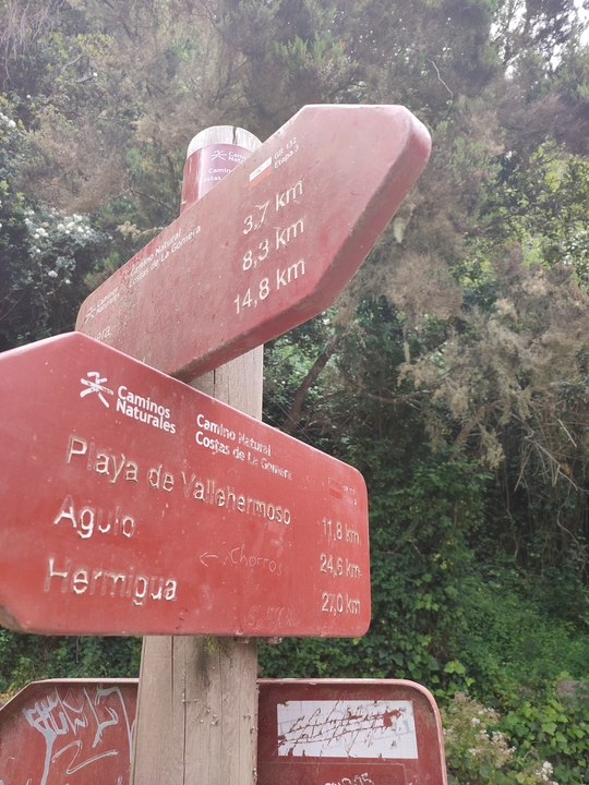
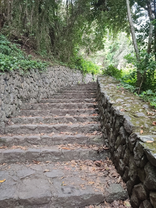
"Chorros de Epina" - Wegweiser Treppe/Signpost stairs/Señalización escaleras - Welcher Ort in/which town at/quel ciudat en 5,3Km